| Wild Atlantic Way (full coastal route, Donegal to Cork) |
2.500
|
100 % Paved
|
Signposted route over N-, R- and L-roads, paved throughout, many tight bends and towns |
No surface risk, but visibility and braking distance are noticeably reduced on narrow sections |
150 to 200 km, depending on bends and stops |
In every larger town; often closed in the evening and on Sundays in the far west |
No pronounced pass summit, a hilly coastal road |
none |
| Ring of Kerry (N70/N71/N72, Iveragh Peninsula) |
179
|
100 % Paved
|
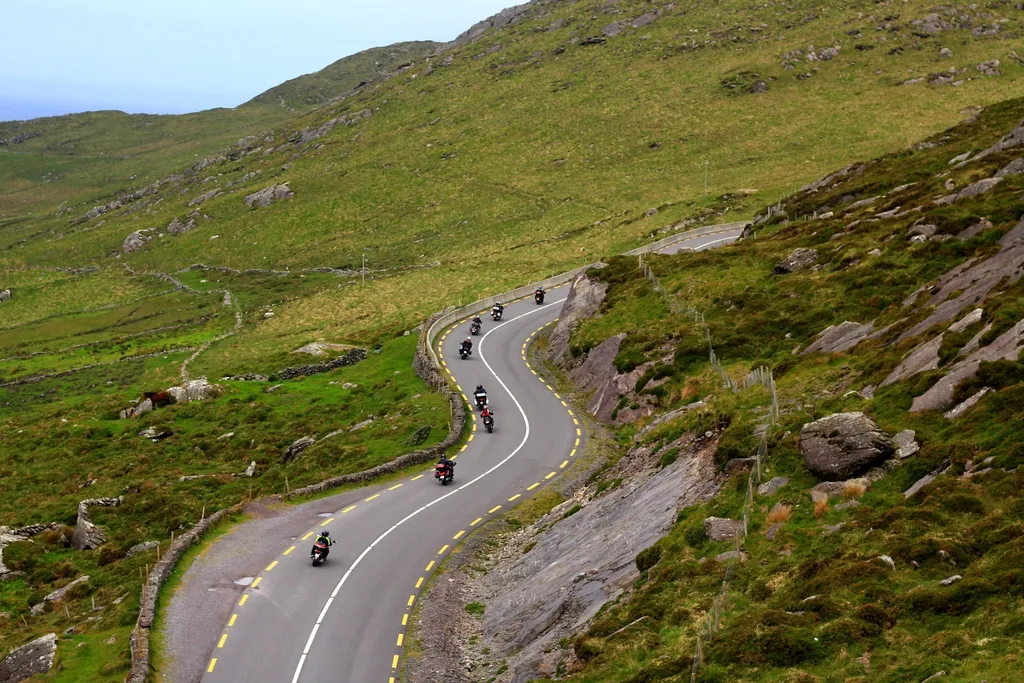
Narrow, winding coastal road around the peninsula; heavy tour-coach traffic on narrow sections in summer |
Stone walls along the roadside leave no room to pull over; a wet surface calls for more distance in the bends |
179 km as a usual day trip; a full day with stops |
Killarney, Killorglin, Kenmare, Waterville |
no pronounced pass summit |
none |
| Conor Pass (R560, Dingle Peninsula) |
–
|
100 % Paved
|
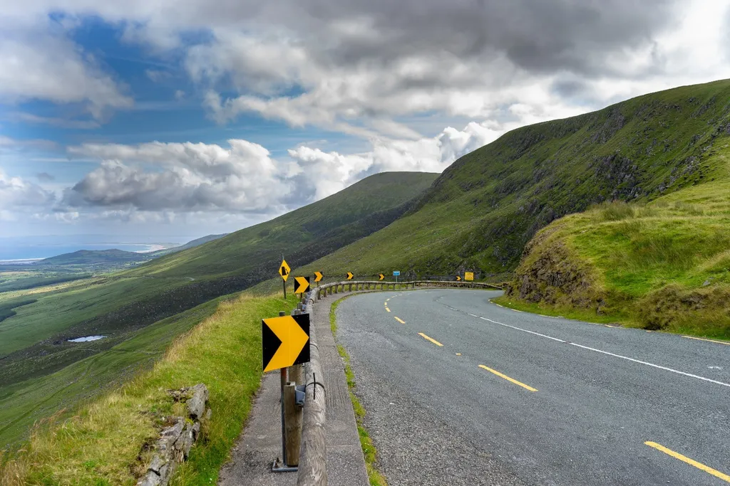
Single-track paved road, oncoming traffic must reverse to a passing point; vehicles over 2 tonnes are prohibited |
Fog and low cloud are common at the summit; visibility can drop sharply |
Short stretch, suitable as a side trip between Dingle and Camp |
Dingle and Camp at both ends |
Conor Pass, 456 m, one of the highest pass roads in Ireland |
none |
| Wicklow Gap (R756, Wicklow Mountains) |
–
|
100 % Paved
|
Narrow mountain road over open moorland, a popular day trip from Dublin |
Wind and fog on the exposed high ground, hardly any shelter |
Short stretch, combines well with the Sally Gap for a loop |
Blessington or Laragh, none at the summit |
Wicklow Gap, 475 m |
none |